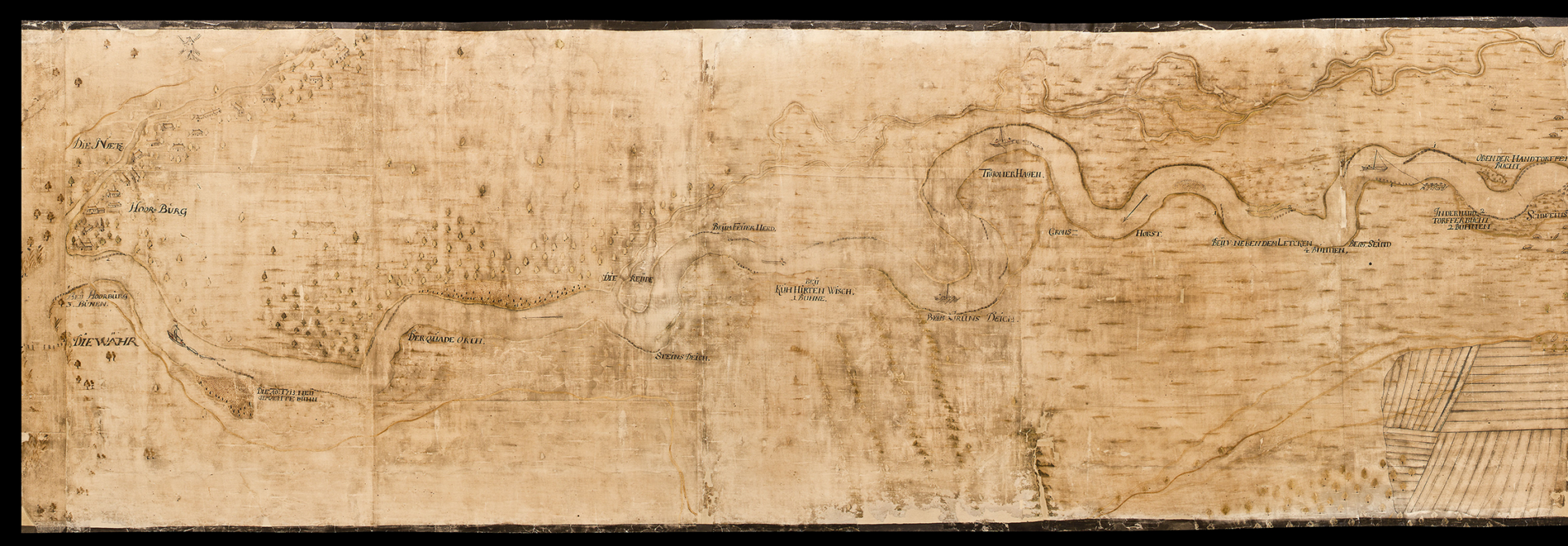
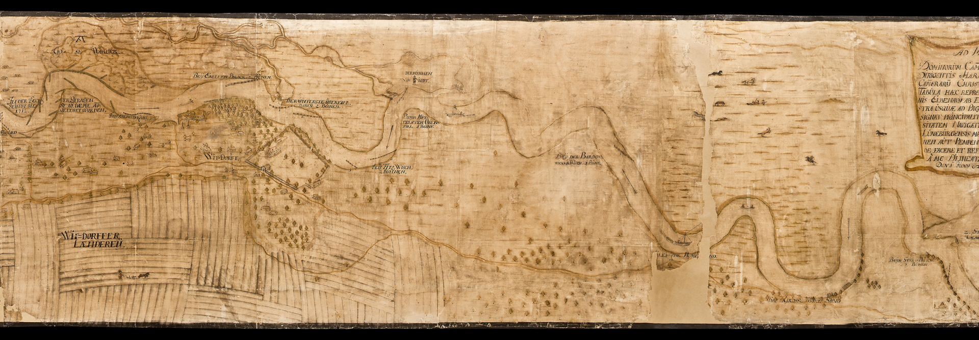
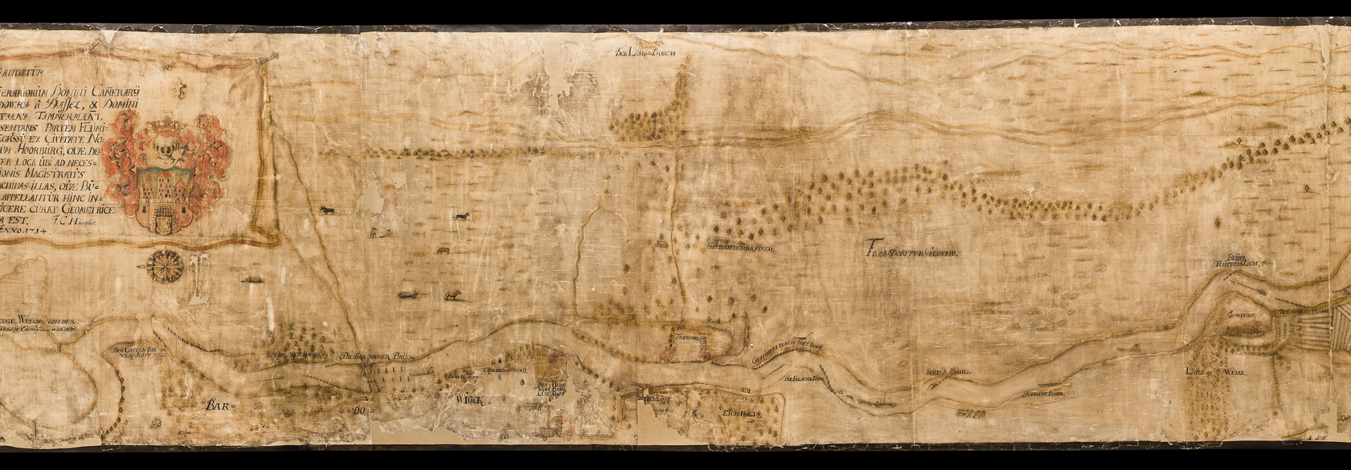
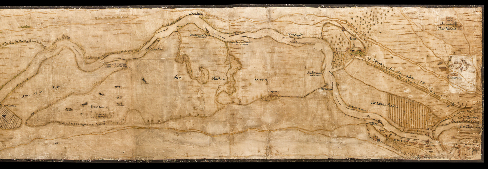
Entire PLAN

It is a map. It is delicately hand-drawn. The storage is a roll, unrolled the map is narrow and long. It shows the course of the River Ilmenau from the weir in Hornburg via Bardowick to Lüneburg. In the centre of the map is the coat of arms of Lüneburg-Braunschweig with the Kalkberg castle and a short description in Latin. The writing is old-fashioned.

Plan of the Breite Wiese military hospital, 1714.

StadtALg K 7-G-27-1-(R).

back